Projects
A showcase of my data science and software engineering projects
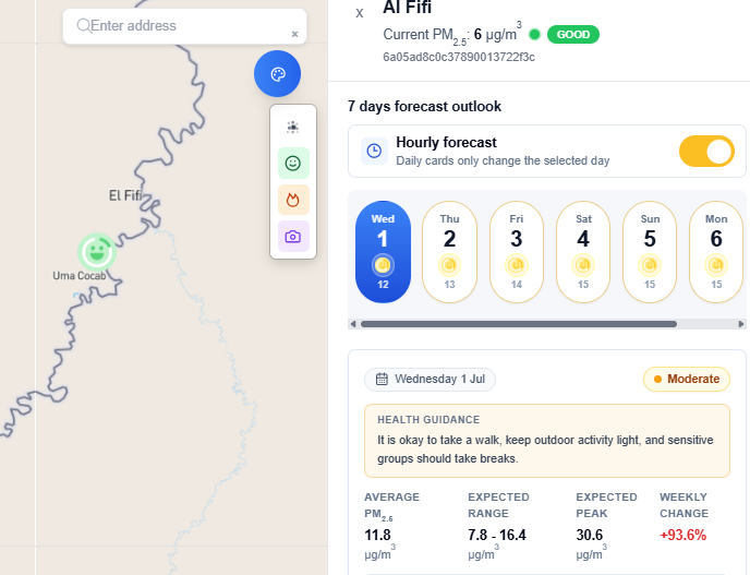
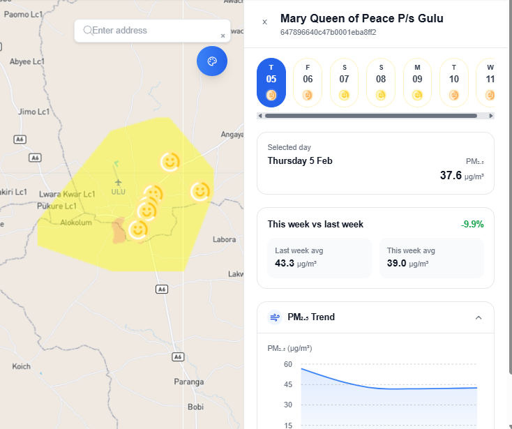
daily and hourly PM2.5 forecast
Pythonnext.js
The AirQo AI PM2.5 Forecasting Platform provides accurate daily and hourly air quality forecasts using advanced machine learning models trained on African air quality and meteorological data. The platform transforms real-time sensor measurements and weather forecasts into actionable predictions that help governments, researchers, businesses, and the public make informed decisions to reduce exposure to air pollution.
Ai.airqo
Pythonnext.js
ai.airqo.net is a platform focused on AI-powered air quality monitoring across African cities. It uses artificial intelligence and machine learning to clean, analyze, and interpret data from networks of air quality sensors. The site offers tools for things like mapping real-time pollution levels, identifying optimal locations for air quality monitors, classifying monitoring sites by environmental conditions, and producing actionable insights from data trends and forecasts. Its goal is to help researchers, decision makers, and citizens access reliable air quality information and use it to make informed choices that can lead to cleaner air.
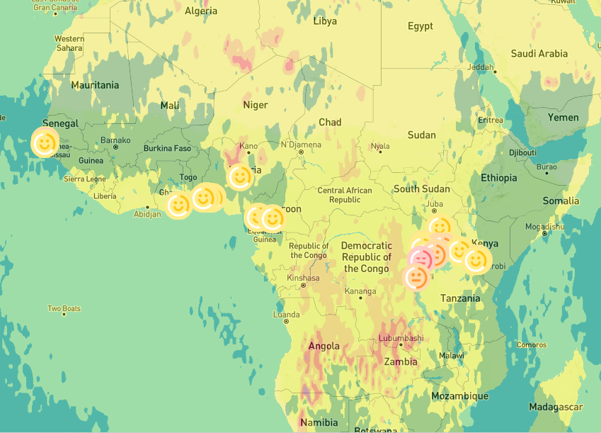
Real-Time PM2.5 Heatmap Generation API using IDW and CAMS Data
Python
This project implements a high-performance FastAPI-based web API for generating and serving PM2.5 air quality heatmaps. It uses CAMS (Copernicus Atmosphere Monitoring Service) PM2.5 data stored in a PostgreSQL database and applies Inverse Distance Weighting (IDW) interpolation to visualize spatial air quality patterns. The resulting interpolated maps are converted to images, encoded in base64, and served via API for web use (e.g., dashboards, apps).
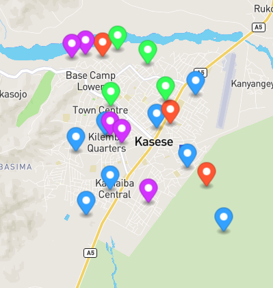
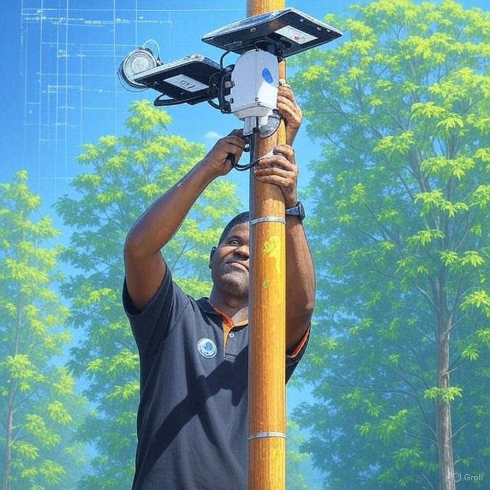
Smart Sensor Deployment: Optimizing Air Quality Monitoring with Python
Python
In the fight against air pollution, strategic placement of air quality sensors is crucial. What if you could automatically determine the best spots to deploy sensors across a city—ensuring spatial coverage, avoiding water bodies, and hitting every key urban category?Introducing the PolygonSensorOptimizer, a Python class designed to do exactly that.
Bridging the Skies and Streets: Integrating Stationary AirQo Sensors with Satellite AOD Data for Cleaner Air Insights
Python
In the ever-evolving fight for clean air, the fusion of ground-based air quality sensors with satellite-derived data opens a new frontier of insights. At the heart of this integration lies an exciting workflow that combines AirQo’s stationary sensor data with NASA’s MODIS Aerosol Optical Depth (AOD) imagery, all powered by Google Earth Engine and Python.This blog walks you through how we blend these two powerful data sources to uncover deeper patterns in air pollution, especially fine particulate matter (PM2.5), across African cities like Fort Portal

Enhancing Mobile Air Quality Readings Using Stationary Sensor Data: A Distance-Aware Matching Approach in Python
Python
In urban air quality research, mobile monitoring has emerged as a powerful approach to capturing hyperlocal pollution patterns. However, mobile sensors often lack critical environmental context such as temperature, humidity, wind speed, and stationary PM2.5 values, information typically captured by stationary monitors.
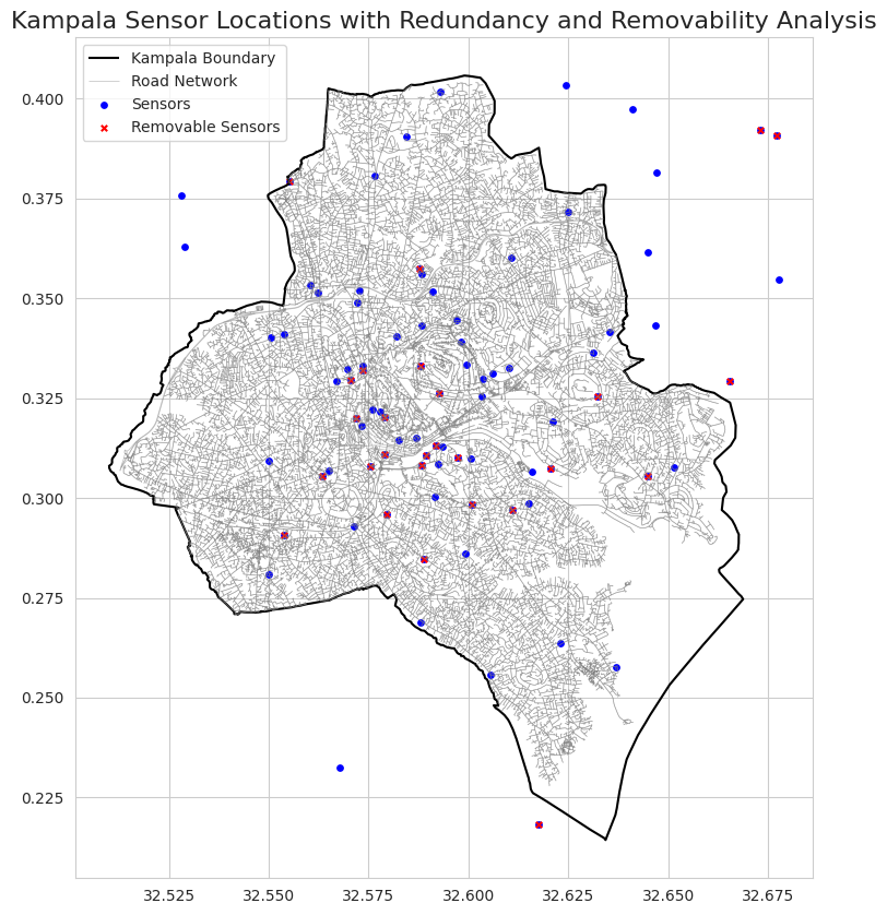
Optimizing Urban Air Quality Monitoring Networks: A Multi-Method Approach for Spatial-Temporal Efficiency and Cost-Effective PM2.5 Surveillance in Kampala, Uganda
Python
This study proposes a multi-method optimization framework to enhance the network’s efficiency. First, spatial distribution analysis employs spatial autocorrelation (Moran’s I, Getis-Ord Gi*) and Voronoi diagrams to evaluate coverage gaps and redundancies.
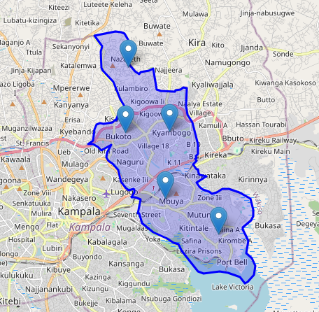
Locate using ML
Python
The Locate API is a spatial analysis endpoint that determines site locations based on a given polygon, specific required locations, and distance constraints.
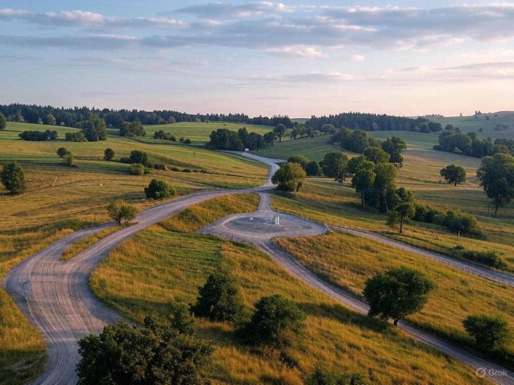
Site Categorization API Project
Python
The Site Categorization API is designed to classify locations based on their geographical and environmental characteristics using OpenStreetMap (OSM) data. The API helps categorize sensor deployment sites by considering factors such as land use, proximity to natural features, and road classifications.

Rest Redemer ministry
Reactnext.js
Redeemer Ministry (R2M) is dedicated to rehabilitation and pastoral training in Nebbi, transforming lives through faith, hope, and compassion.
Real-time Data Processing Framework
ScalaSparkKafka
A scalable framework for processing and analyzing streaming data in real-time, with applications in IoT and financial services.

Recommendation Engine
PythonTensorFlowAWS
A personalized recommendation system using collaborative filtering and content-based approaches for e-commerce applications.